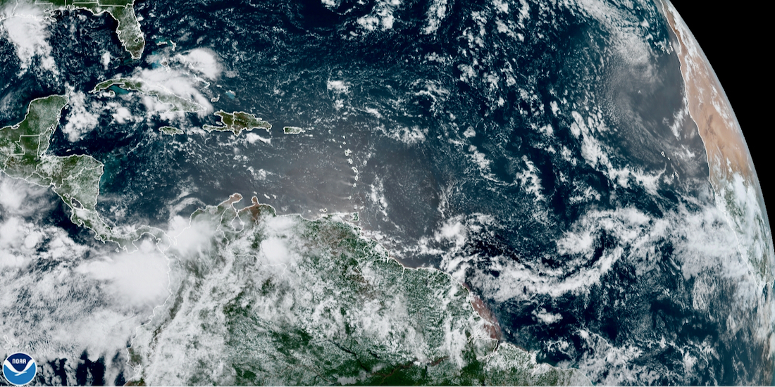
A tropical wave located about 1,000 miles west-southwest of the Cabo Verde Islands on Monday morning has become a little better organized, the National Hurricane Center reported but is given only a one in five chance of further development.
According to the NHC, environmental conditions are expected to be only marginally conducive for the development of this system during the next few days while it moves westward at 10 to 15 mph over the tropical Atlantic. By Friday and over the weekend, conditions are forecast to become less favorable for tropical cyclone formation, hurricane center meteorologists predicted.
The National Hurricane Center’s Monday morning update gave the system only a 20 percent chance for developing into a tropical system in the next five days.
As the system heads west across the Atlantic, it is likely to reach the Caribbean as a strong tropical wave with squally weather across Barbados and the central Lesser Antilles on Friday and Saturday.
Of the various storm development models employed by meteorologists, only the Canadian and European models forecast the development of the tropical wave over the next few days. The Canadian model projects the system will be a tropical storm when it reaches the central Lesser Antilles and Barbados on Friday and Saturday.