The Department of Planning and Natural Resources is expecting to hold a public hearing in Coral Bay in mid-October to get a public response to its draft of the Round Bay User Management Plan.
The plan, released on September 1, aims to strike a balance between the desire of boaters to assure access to anchorages on the East End of St. John and the desire of preservationists to maintain the fragile beauty of one of the last unspoiled bays within territorial waters.
Round Bay became a flashpoint during the COVID-19 pandemic when the British Virgin Islands closed their ports to all foreign vessels. The U.S. Virgin Islands’ decision to keep its ports open led to a sudden increase in charter boat activity and unprecedented demand for accommodations in anchorages.
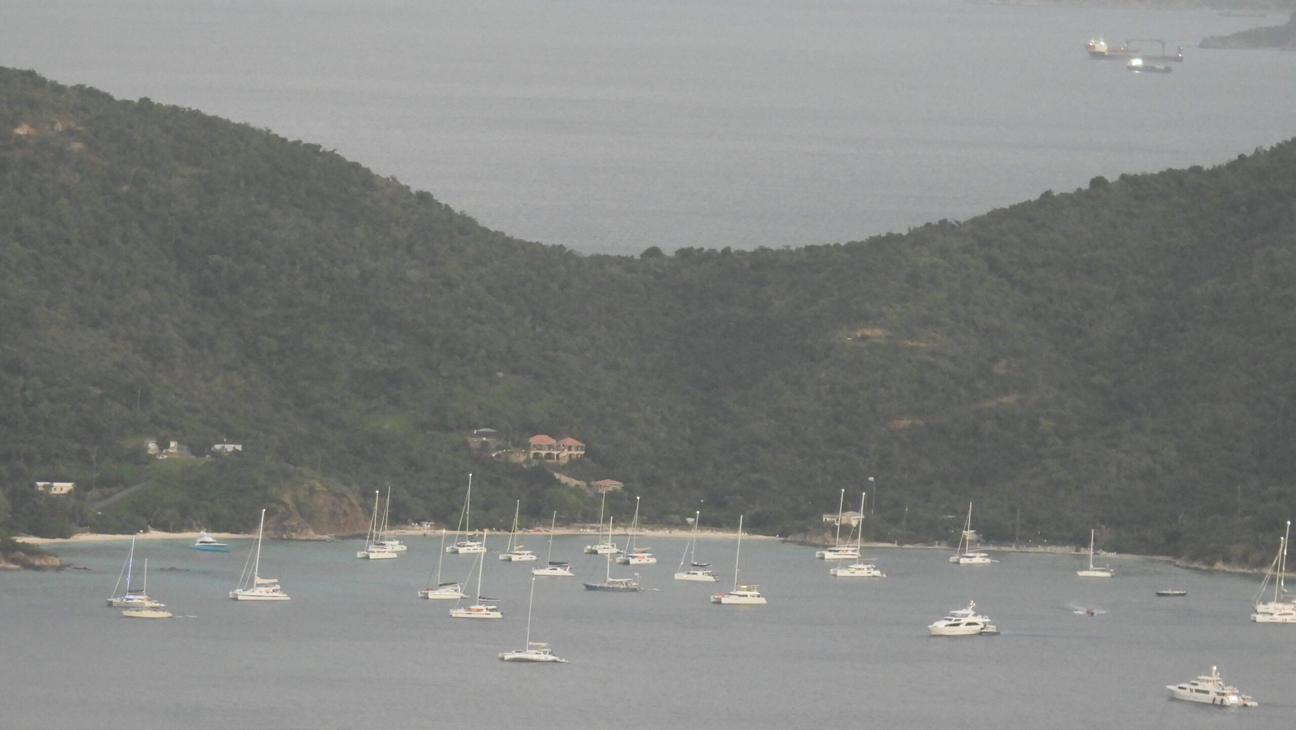
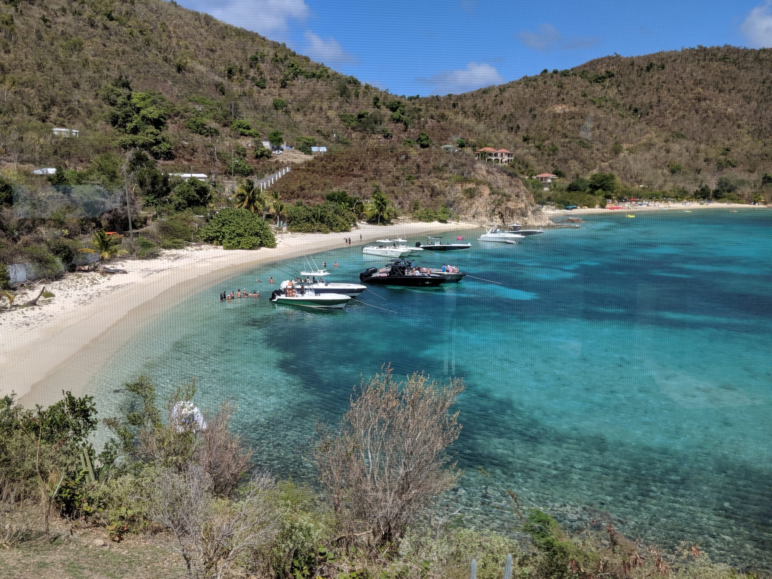
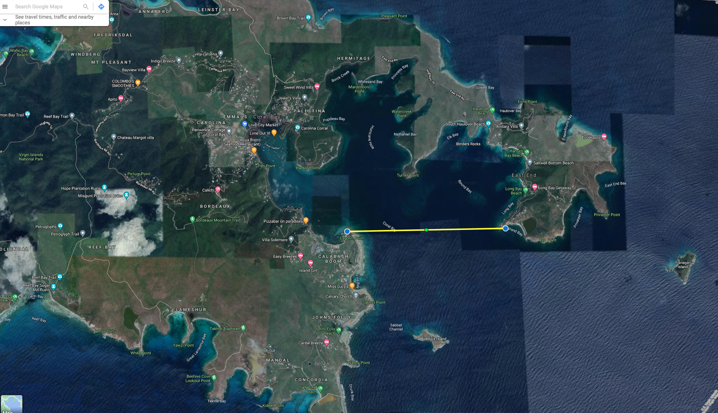
Round Bay, which typically sheltered a handful of boats prior to the closing of BVI ports, suddenly had 20 or more vessels on a daily basis jockeying to set their anchors and as many as 40 vessels during one peak vacation week. The Round Bay User Management Plan seeks to limit damage to the coral reefs and seagrass beds caused by this uncontrolled anchoring by providing moorings.
“We currently have resources to implement three day-use moorings and four transient ones through our partnership with the Virgin Islands Professional Charter Association,” said Jean-Pierre “JP” Oriel, DPNR commissioner. Fourteen more moorings may be added at some future time, according to the plan.
Although the plan includes a map that indicates the location of these moorings, Oriol said their locations are still provisional. “Installation is dependent on feedback received and any changes we may make based on the feedback, and changes to our application to the Army Corp of Engineers,” he said.
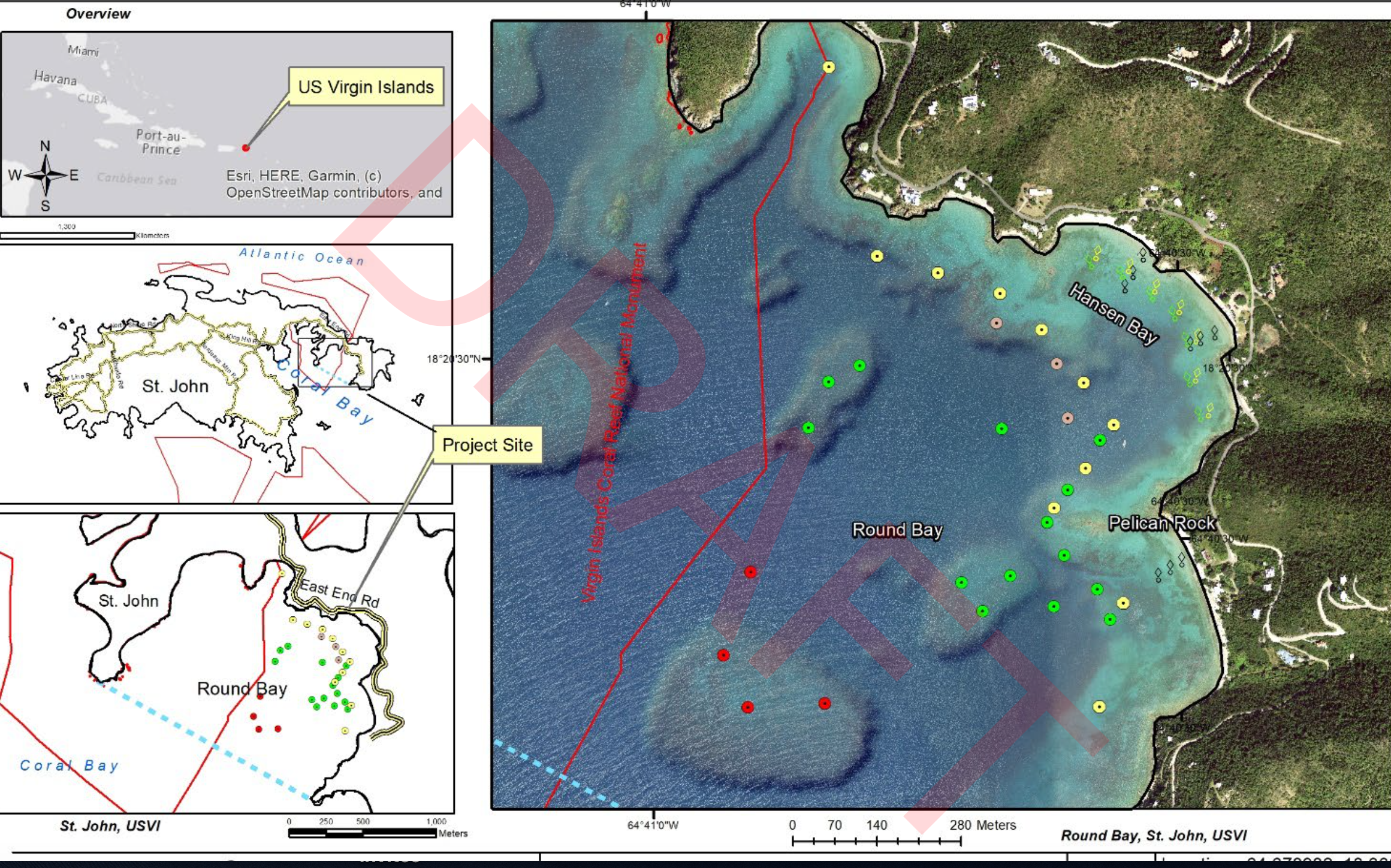
“Round Bay is home to the Virgin Islands Coral Reef National Monument, a national historic wreck, healthy seagrass beds, and sand flats,” according to the press release announcing the plan. These resources “will greatly benefit from mooring installations and buoy signage that would regulate, protect, and mitigate the pressures and impacts of the increased boating and maritime activity.”
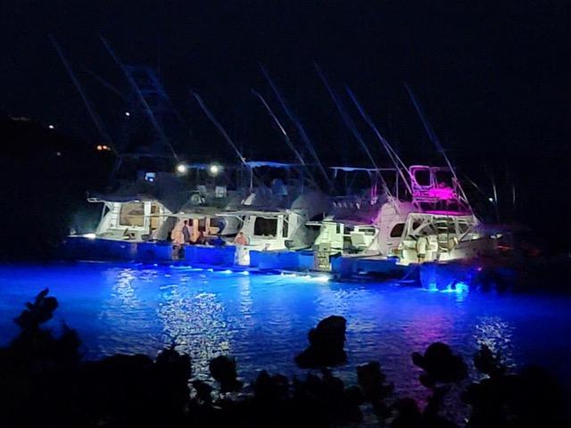
Some extra protections to the marine environment do apply to Round Bay which has been identified as a Restricted Area since the early 1990s. But it is well documented that boaters often violate these restrictions by operating thrillcraft like jet skis and shining bright lights into the water at night.
In spite of the activity, Round Bay, which encompasses Hansen Bay, Limetree Cove, and Long Bay, remains one of a few areas within territorial waters that has vibrant coral reefs and extensive seagrass beds.
For this reason, Eric Zucker, a filmmaker who has documented the underwater beauty in Round Bay, has argued it should become a sanctuary, allowing for limited day-use activity only and banning overnight use, even with moorings.
Zucker envisions a Round Bay which would “welcome all swimmers, snorkelers, divers, kayakers, paddleboarders, sailors on dinghies and other sailboats sailing/racing through, nature watchers, educational projects, research projects, coral reef experiments, etc.”
He doesn’t think that limiting the number of overnight moorings will do enough to preserve the marine environment, which is already threatened by warming waters, devastating coral diseases, invasive sargassum, and other manifestations of climate change.
“I’m of the mind that the only way to preserve the bay is to save all of it,” said Zucker. “I always say, ‘Show me a bay with moorings that has living coral in it.’ I can’t think of any. You may think moorings will save the day, but it’s the human activity that causes the damage.”
Zucker sympathizes with the desire of boaters to enjoy places like Round Bay. “I’m a boater, too,” he said, “but so much of the coral has been killed off in the last three to five years. If there were ten times as many bays like Round Bay, I’d have less of an argument, but we’ve got to draw the line.”
At the same time, some advocates of managing the bay for boaters’ use are disappointed that the draft plan doesn’t go far enough.
“I think the plan is a good start,” said Leah Randall Hanson, co-owner of Flyaway Charters, which regularly takes guests to sites in Round Bay. But she paused at hearing at DPNR’s approach of starting with only three moorings and increasing the number over time. “Three moorings for day use? That’s not going to provide enough access. When will they install the other moorings?”
Randall Hanson, along with other advocates for managed use of the resource, presented their argument last year in the Source.
“This area has been accessed by boaters for centuries,” she said. “To rescind these rights is not equal access. I suggest everyone submit their comments to DPNR. They say they want our suggestions for comments, and we all want to use the resource.”
Randall Hanson pointed out that boaters are allowed to use overnight moorings throughout most of the waters of the Virgin Islands National Park, and in some bays, even anchoring is permitted. Day use with moorings is allowed in sensitive locations, like Hurricane Hole. “If we can access Hurricane Hole, why can’t we access Round Bay?” she asked.
Randall Hanson said she was also concerned that the draft of the Round Bay User Management Plan makes no provision to mark and protect the wreck of the Santa Monica, which lies within Round Bay.
DPNR officials told the Source that leaving the wreck unmarked was a deliberate choice. “Our archaeologist actually advises against it,” Oriel said. “Once in place, management buoys will prevent any anchoring in the area close to the Santa Monica, negating the need for marking it.”
Coral Bay Community Council President Sharon Coldren said she had many questions still about the draft plan and hoped it could be part of a larger plan to manage all of the territory’s waters.
Oriol said DPNR will continue to welcome comments and suggestions about the Round Bay User Management Plan until about two weeks after the public hearing; the date for that meeting will be well publicized when it has been determined, he said.
For additional information or to provide feedback, contact the Division of Coastal Zone Management at czm@dpnr.vi.gov or call 340-774-3320.