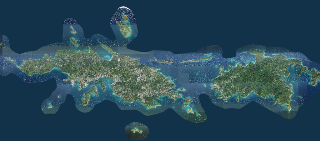
Commissioner Jean-Pierre L. Oriol of the Department of Planning and Natural Resources (DPNR) informs the public that the Virgin Islands Historic Preservation Commission’s (VIHPC) Historic Registry Districts and Historic and Architectural Control Districts boundaries will be featured on the territory’s free public land viewer MapGeo website.
MapGeo is part of the Virgin Islands Geographical Information System (GIS) Platform and is managed by the GIS Division of the Office of the Lieutenant Governor. MapGeo is also the most actively used Government of the Virgin Islands website.
The VIHPC Historic Districts data can be found under the THEMES tab on the MapGeo website and can be graphically manipulated to the user’s needs. The Historic Districts data will be available by Oct. 1, 2022, for the start of the 2023 Fiscal Year.
If there are any questions regarding property responsibilities in the VI Historic Districts, contact the VI State Historic Preservation Office at 776-8605 on St. Thomas or at 719-7089 on St. Croix.


